Australia’s weather outlook remains relatively stable over the next 48 hours, but forecasters are closely watching a developing tropical system that could evolve into a cyclone later this week.
According to the Bureau of Meteorology (BoM), a tropical low is expected to form northwest of Christmas Island within the next 24 hours, marking the beginning of a potentially active period across northern waters.
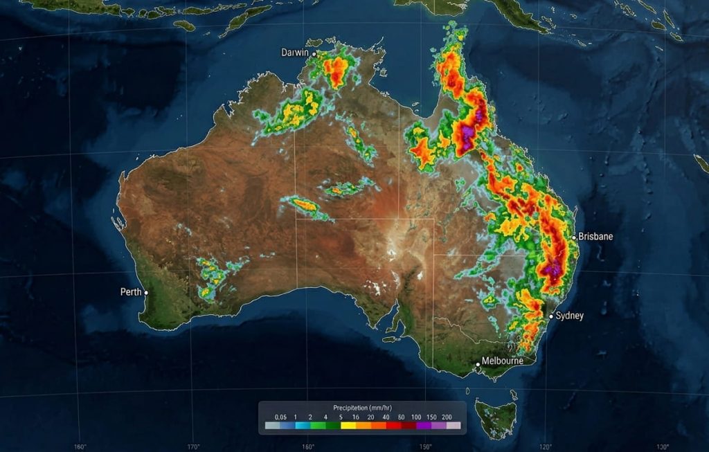
No Cyclone Landfall Expected Within 48 Hours
BoM’s latest forecast confirms that no tropical cyclone is expected to cross the Australian mainland in the next two days.
The developing system is forecast to:
- Remain well offshore
- Track southward over open waters
- Show gradual intensification potential beyond the 48-hour window
This means major population centers and coastal communities are not under immediate cyclone threat.
Why Forecasters Are Still Concerned
Even though the short-term risk is low, meteorologists warn that conditions are favorable for rapid cyclone development.
Warm ocean temperatures and low wind shear are creating an environment where the tropical low could strengthen quickly after the initial 48-hour period.
Queensland on Early Alert
Attention is already turning toward Far North Queensland, particularly the Cape York Peninsula, where future impacts are possible if systems track eastward.
While no direct impact is expected immediately, residents are being advised to:
- Monitor official updates
- Stay prepared for changing conditions
- Watch for heavy rainfall and strong winds later this week
Active Tropics Across Northern Waters
The broader region, including the Coral Sea and Indian Ocean, is currently experiencing heightened tropical activity.
Weather experts note that multiple systems could develop during this period, increasing the likelihood of:
- Sudden weather shifts
- Heavy rainfall events
- Coastal wind surges
48-Hour Risk Snapshot
- Queensland (Far North): Low risk now, increasing later
- Western Australia: Stable, no cyclone threat
- Northern Territory: Typical tropical conditions
- NSW, Victoria, South Australia: Calm and stable weather
What Happens Next?
While Australia avoids immediate cyclone danger, the situation remains dynamic and fast-changing.
The Bureau of Meteorology is continuing to monitor the system closely, with further updates expected within the next 24–48 hours.