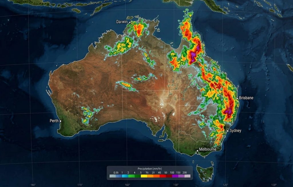
Australia is currently caught in a weather pincer movement. In the west, Severe Tropical Cyclone Narelle is unleashing “very destructive” winds and flash flooding, while a powerful offshore low in the east is dumping heavy rain and even unseasonal snow across New South Wales and Victoria.
Severe Tropical Cyclone Narelle, currently a Category 4 system, is pummeling the Pilbara and Gascoyne coasts. Residents in Exmouth and Onslow have reported “terrifying” conditions as wind gusts reaching 275 km/h tear through infrastructure.
The Bureau of Meteorology (BoM) has warned of a dangerous storm tide between Onslow and Denham, with sea levels rising significantly above the normal high tide. This is causing hazardous coastal inundation and damaging waves that are swamping local roads.
Current Alert: A Red Alert remains for residents between Onslow and Ningaloo. Ensure you stay inside your strongest shelter until the “All Clear” is given by authorities.
Southeastern Australia: A Wintry Blast and Gale Warnings
While the north is battling tropical heat and cyclones, the southeast has plunged into a premature winter. A deepening low-pressure system over the western Tasman Sea is maintaining a “flogging” of gusty winds and persistent rain across southeastern NSW and eastern Victoria.
- NSW: Damaging surf and gales are hitting the Illawarra and South Coast.
- Victoria: East Gippsland is on high alert for flash flooding as 6-hour rainfall totals approach 80 mm.
- Snowfall: In a surprise twist, the alpine regions of Thredbo and Perisher have recorded up to 15 cm of fresh snow as temperatures plummet.
Forecast: What to Expect in the Next 48 Hours
The weather drama isn’t over yet. Over the next two days, the following shifts are expected:
| Region | Forecast (Next 24–48 Hours) | Primary Risk |
|---|---|---|
| WA West Coast | Storms spreading south toward Perth; heavy rain. | Flash Flooding |
| SE NSW / E VIC | Gusty winds easing slowly; rain continuing. | River Rises |
| Tasmania | Onshore winds bringing cold, persistent showers. |
As Narelle moves further inland, it is expected to weaken into a tropical low, but the moisture it carries will likely trigger heavy falls for the South West Land Division and Perth by Saturday evening.
Public Impact and Safety
Travel is heavily impacted across both sides of the country. Many roads in the Gascoyne region are closed due to debris and flooding. For those planning to travel through the northwest, In past of February 8 – Cyclone Mitchell Strengthens, Threatens Western Australia Coast
In the east, commuters should be wary of fallen trees and power outages caused by the saturated soil and gusty southerly winds.
Primary Source: Bureau of Meteorology (BoM) National Forecast, March 27, 2026.